U.S. Route 68 is a United States highway that runs for 560 miles (900 km) from northwest Ohio to Western Kentucky. The highway's western terminus is at US 62 in Reidland, Kentucky. Its present northern terminus is at Interstate 75 in Findlay, Ohio, though the route once extended as far north as Toledo. US 68 intersects with US 62 three times during its route.
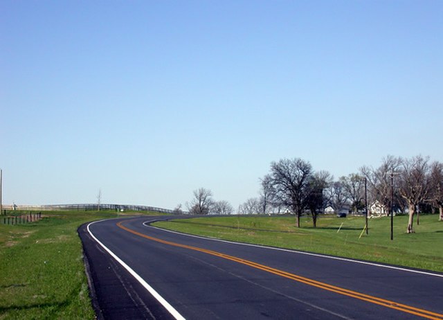
US 68 in Mercer County, Kentucky
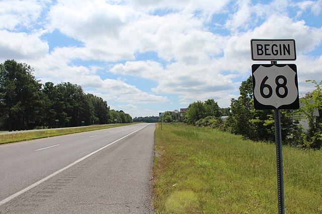
The Beginning of US 68 at an intersection with US 62 near Paducah, KY
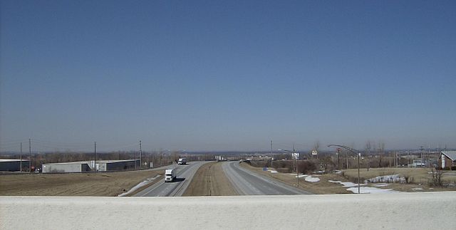
Highest point on US 68 at the US 33 interchange in Bellefontaine, Ohio
U.S. Route 62 in Kentucky
U.S. Route 62 (US 62) in Kentucky runs for a total of 391.207 miles (629.587 km) across 20 counties in western, north-central, and northeastern Kentucky. It enters the state by crossing the Ohio River near Wickliffe, then begins heading eastward at Bardwell, and traversing several cities and towns across the state up to Maysville, where it crosses the Ohio River a second time to enter the state of Ohio.
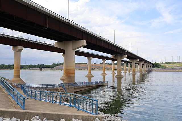
The George A. Ellis Bridge (foreground) carries U.S. 62 and U.S. 641 over the Tennessee River.