Uasin Gishu County
Videos
Page
Uasin Gishu County is one of the 47 counties of Kenya located in the former Rift Valley Province. Eldoret has the county's largest population centre as well as its administrative and commercial centre. "It lies between longitudes 34 degrees 50' east and 35 degrees 37' West and latitudes 0 degrees 03' South and 0 degrees 55' North. It is a highland plateau with altitudes falling gently from 2,700 meters above sea level to about 1,500 meters above sea level. The topography is higher to the east and declines gently towards the western border".
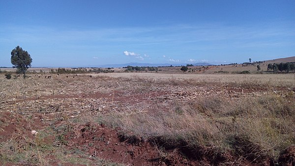
Cherangani hills as viewed from farmlands near Karuna,Moiben, Uasin Gishu
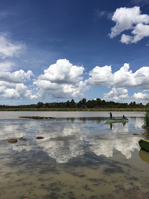
Kesses Reservoir
Eldoret
Videos
Page
Eldoret is the fifth largest city in Kenya. In the Rift Valley region, it serves as the capital of Uasin Gishu County. The town was referred to by white settlers as Farm 64 and colloquially by locals as 'Sisibo'. As per the 2019 Kenya Population and Housing Census, Eldoret is the fifth most populated urban area in the country after Nairobi, Mombasa, Nakuru and Ruiru. Lying south of the Cherangani Hills, the local elevation varies from about 2,100 metres (6,900 ft) at the airport to more than 2,700 metres (8,900 ft) in nearby areas. The population was 289,380 in the 2009 Census, and it was the fastest growing city in Kenya with 475,716 people according to 2019 National Census. Eldoret was on course to be named Kenya's fourth city, but was edged out by Nakuru in 2021.
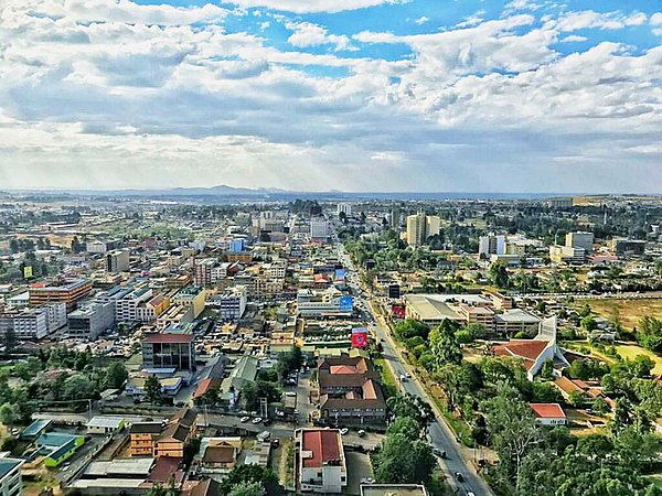
Skyline of Eldoret, facing west from atop Eldoret Daima Towers

Kenya's first president, Jomo Kenyatta, opens the Eldoret Agricultural Show in 1968.
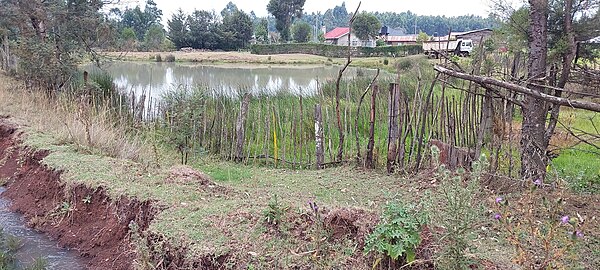
A swamp in Eldoret

Large wheat plantation near Eldoret. Sergoit hill seen in the background