The Upper Hessian Ridge or Upper Hesse Ridge is a hill chain in the West Hesse Highlands in North and Middle Hesse, which lies on the Rhine-Weser watershed and links the montane Central Upland ranges of the Kellerwald and the Vogelsberg in a north-south direction. The swell is divided into the Gilserberg Heights in the north, the central Neustadt Saddle and the Northern Vogelsberg Foreland in the south.
View from the Amöneburg of the Gilserberg Heights with the Burgholz (379.1 m, left) and, on the Kellerwald behind, the Hohes Lohr (656.7 m, left, TV tower), Jeust (ca. 585 m, centre) and Wüstegarten (675.3 m, right). Front left :the town of Kirchhain.
View from the Wolfskaute near Rauschenberg of the Gilserberg Heights, part of the Upper Hessian Ridge, which links the Vogelsberg (773.0 m, rear; far right) with the Kellerwald (up to 675.3 m, far left). Right: the Burgholz (379.1 m); centre right in the far distance is the Kirschenwald (up to 532.8 m) in the Knüll (up to 635.5 m); centre left is the Ernsthausen wind farm; far left and optically merged into one another are the Jeust (ca. 585 m) and the
View from the Amöneburg of the Neustadt Saddle and Knüll (635.5 m). Immediately left of the saddle of the largely cleared Krückeberg (345.4 m), which from a natural regional perspective counts as part of the saddle; right of the saddle is the plateau of the Northern Vogelsberg Foreland (388 m)
The West Hesse Highlands, also known as the West Hessian Lowlands and Highlands, are a heavily forested region of the Central Uplands in Germany. These highlands lie mainly within the state of Hesse, between that part of the Rhenish Massif right of the Rhine in the west, the Weser Uplands to the north, the Hessian Central Uplands to the east and the Wetterau to the south.
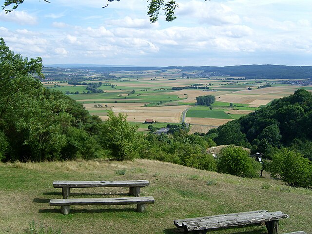
The Kellerwald in the West Hesse Highlands, with the Hohes Lohr (656.7 m, l), Jeust (585.0 m, m) and Wüstegarten (675.3 m, r); in front are the Gilserberg Heights
View from the Amöneburg of the southeastern Amöneburg Basin, the Vogelsberg foothills (right: the 405 and 407 m high Mardorfer Kuppe) and the "actual" Vogelsberg (left rear)