Upper Mississippi River National Wildlife and Fish Refuge
The Upper Mississippi River National Wildlife and Fish Refuge is a 240,000-acre (970 km2), 261-mile long (420 km) National Wildlife Refuge located in and along the Upper Mississippi River. It runs from Wabasha, Minnesota in the north to Rock Island, Illinois in the south.
Looking west over the Mississippi River from an overlook within the Upper Mississippi River National Wildlife and Fish Refuge
Paddling the Mississippi River
Sign
The Driftless Area, also known as Bluff Country and the Paleozoic Plateau, is a topographical and cultural region in the Midwestern United States that comprises southwestern Wisconsin, southeastern Minnesota, northeastern Iowa, and the extreme northwestern corner of Illinois. The Driftless Area is a USDA Level III Ecoregion: Ecoregion 52. The Driftless Area takes up a large portion of the Upper Midwest forest–savanna transition. The Blufflands refers to the eastern section of the Driftless area in Minnesota, due to the steep bluffs and cliffs around the river valleys. The western half is known as the Rochester Plateau, which is flatter than the Blufflands. The Coulee Region refers to the southwestern part of the Driftless Area in Wisconsin. It is named for its numerous ravines.
Autumn in the Driftless Area of Cross Plains, Wisconsin
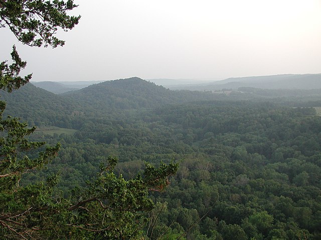
Typical terrain of The Driftless Area as viewed from Wildcat Mountain State Park in Vernon County, Wisconsin
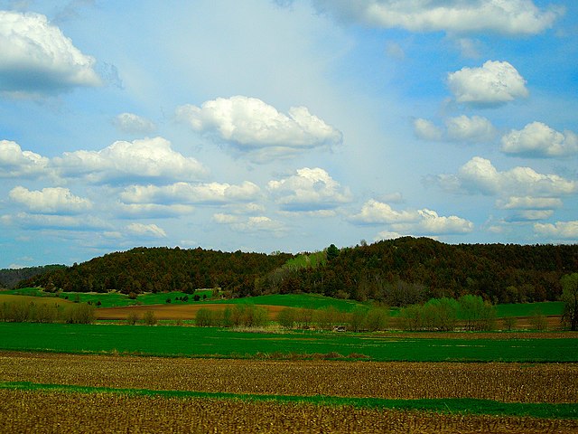
Typical Driftless Area Scenery near Mazomanie, Wisconsin
Tablet Rock Overlook in Wisconsin's Devils Lake State Park, located in the Baraboo Range


