The Vaalserberg is a hill with a height of 322.4 metres (1,058 ft) above NAP and is the highest point in the European part of the Netherlands. The Vaalserberg is located in the province of Limburg, at the south-easternmost edge of the country, near the town of Vaals.
The Vaalserberg seen from Aachen
The Three-Country Point with the border post dating back to 1926
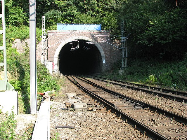
Gemmenicher Tunnel
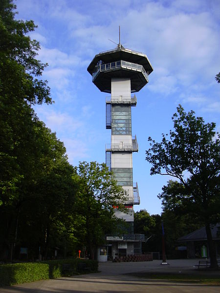
The Boudewijntoren observation tower
Limburg, also known as Dutch Limburg, is the southernmost of the twelve provinces of the Netherlands. It is bordered by Gelderland to the north and by North Brabant to its west. Its long eastern boundary forms the international border with the state of North Rhine-Westphalia in Germany. To the west is the international border with the similarly named Belgian province of Limburg, part of which is delineated by the river Meuse. To the South, Limburg is bordered by the Belgian province of Liège. The Vaalserberg is on the extreme southeastern point, marking the tripoint of the Netherlands, Germany and Belgium.
View of the river Meuse and the Medieval Sint Servaasbrug in Maastricht, Limburg's capital
View of a typical street in a hilly South-Limburgian hamlet; here in Walem
Huis Bloemendaal in Vaals, an 18th-century stately home, also used as a monastery, now a hotel
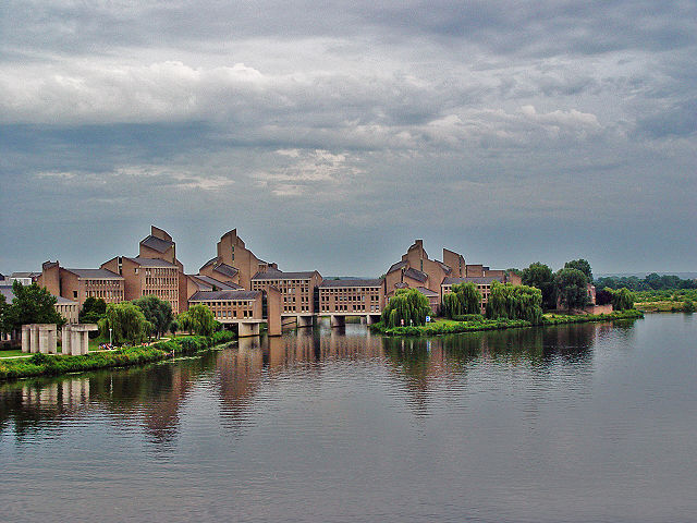
Provincial Government Buildings in Maastricht