Visakhapatnam district
Videos
Photos
Visakhapatnam district is one of the six districts in the Uttarandhra region of the Indian state of Andhra Pradesh, headquartered at Visakhapatnam. It is one of the twenty-six districts in Andhra Pradesh state. The district shares borders within the north and east, Vizianagaram district and South Anakapalli district in the south-west and Bay of Bengal in the south.

Image: Simhachalam temple view from the rear side hillock

Image: Visakhapatnam seaport from Fishing harbour

Image: Lighthouse on Visakhapatnam beach road

Collectorate Building, Visakhapatnam
North Andhra
Videos
Photos
North Andhra or Uttara Andhra, also known as Kalinga Andhra, is a geographic region in the Indian state of Andhra Pradesh. It is between the Eastern Ghats and the coast of the Bay of Bengal. It comprises six northern districts of the state, Srikakulam, Parvathipuram Manyam, Vizianagaram, Visakhapatnam, Alluri Sitharama Raju and Anakapalli. As of 2011 census of India, the region with six districts has a population of 9,338,177.

Image: Vizag View from Kailasagiri

Image: Arasavilli Suryanarayana Temple in Srikakulam
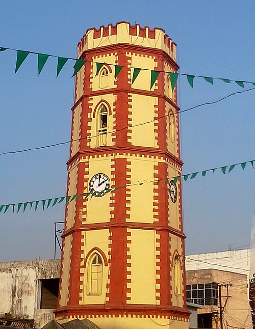
Image: Ganta stambham (clock tower) in Vizianagaram

Image: Araku Valley coffee plantations