Vizianagaram district
Videos
Page
Vizianagaram district is one of the six districts in the Uttarandhra region of the Indian state of Andhra Pradesh with its headquarters located at Vizianagaram. The district was once the part of ancient Kalinga.Saripilli Dibbilingeswara temple, Jayathi Mallikarjuna Temple are the finest examples of ancient Eastern Ganga Dynasty built monuments in the district. The district is bounded on the east by the district of Srikakulam, north by Parvathipuram Manyam south by Visakhapatnam, Anakapalli, southeast by the Bay of Bengal, and west by Alluri Sitharama Raju district. It was formed on 1 June 1979, with some parts carved from the neighbouring districts of Srikakulam and Visakhapatnam. The district is named after the princely state of Vizianagaram. In 2011, it was the least populous district in Andhra Pradesh.

Image: Port Gate of Vijayanagaram Kings

Image: Jayathi Kalinga Temples, Vizianagara district, Andhra Pradesh 1

Image: Dibbesvara temple, Kalinga style, Saripalli Andhra Pradesh 01

Image: View from Jain caves on Bodhikonda 04
North Andhra
Videos
Page
North Andhra or Uttara Andhra, also known as Kalinga Andhra, is a geographic region in the Indian state of Andhra Pradesh. It is between the Eastern Ghats and the coast of the Bay of Bengal. It comprises six northern districts of the state, Srikakulam, Parvathipuram Manyam, Vizianagaram, Visakhapatnam, Alluri Sitharama Raju and Anakapalli. As of 2011 census of India, the region with six districts has a population of 9,338,177.

Image: Vizag View from Kailasagiri

Image: Arasavilli Suryanarayana Temple in Srikakulam
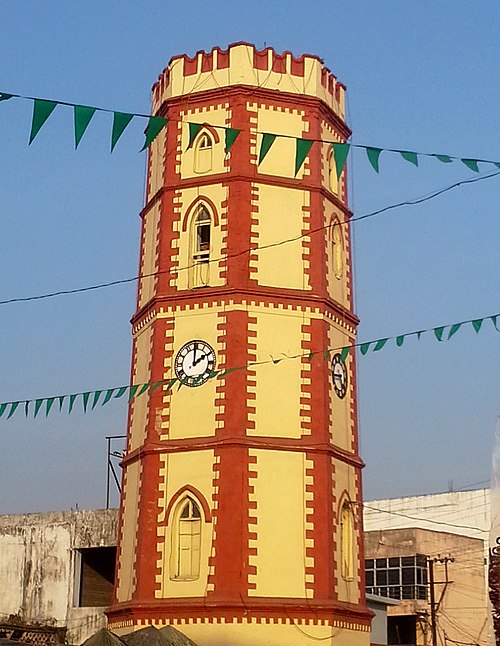
Image: Ganta stambham (clock tower) in Vizianagaram

Image: Araku Valley coffee plantations