Wairoa is a town and territorial authority district in New Zealand's North Island. The town is the northernmost in the Hawke's Bay region, and is located on the northern shore of Hawke Bay at the mouth of the Wairoa River and to the west of Māhia Peninsula. It is on State Highway 2, 118 kilometres (73 mi) northeast of Napier, and 92 kilometres (57 mi) southwest of Gisborne. Wairoa is the nearest town to the Te Urewera protected area and former national park that is accessible from Wairoa via State Highway 38. It is the largest town in the district of Wairoa, and is one of three towns in New Zealand, the others being Kawerau and Ōpōtiki, where Māori outnumber other ethnicities, with 62.29% of the population identifying as Māori.
Wairoa riverbank viewed from SH2 bridge over Wairoa River
Wairoa Lighthouse
St Andrew's Church
St Peter's Church
Hawke's Bay is a region on the east coast of New Zealand's North Island. The region is named for Hawke Bay, which was named in honour of Edward Hawke. The region's main centres are the cities of Napier and Hastings, while the more rural parts of the region are served by the towns of Waipukurau, Waipawa, and Wairoa.
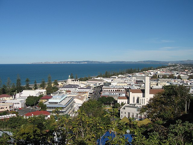
Image: Napier and bay
Image: Wairoa Old Portland Lighthouse
Image: Oruawharo Homestead 335
Image: Hastings New Zealand CBD at night


