Warrego Highway
Videos
The Warrego Highway is located in southern Queensland, Australia. It connects coastal centres to the south western areas of the state, and is approximately 715 km in length. It takes its name from the Warrego River, which is the endpoint of the highway. The entire highway is part of the National Highway system linking Darwin and Brisbane: formerly National Highway 54, Queensland began to convert to the alphanumeric system much of Australia had adopted in the early-2000s and this road is now designated as National Highway A2.

Highway at Haigslea, 2014

Stretch of Highway between Ipswich and Toowoomba

A signpost

"Welcome to Darren Lockyer Way" signage at Ipswich end of Warrego Highway heading westbound.
Darling Downs
Videos
The Darling Downs is a farming region on the western slopes of the Great Dividing Range in southern Queensland, Australia. The Downs are to the west of South East Queensland and are one of the major regions of Queensland. The name was generally applied to an area approximating to that of the Condamine River catchment upstream of Condamine township but is now applied to a wider region comprising the Southern Downs, Western Downs, Toowoomba and Goondiwindi local authority areas. The name Darling Downs was given in 1827 by Allan Cunningham, the first European explorer to reach the area and recognises the then Governor of New South Wales, Ralph Darling.

The central business district of the region's largest city, Toowoomba

Aerial view of Bell, 2010
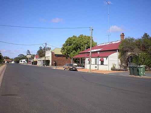
A wide street in the small town of Nobby

Jimbour House, 2011