Waugoshance Point is a 2.5-mile-long (4.0 km) cape or peninsula that juts into Lake Michigan from the northwest coast of the Lower Peninsula of the U.S. state of Michigan in Emmet County. It separates the Straits of Mackinac to its north from Sturgeon Bay to the south and is part of Wilderness State Park. The nearest town is Mackinaw City. Waugoshance is a hybrid word, that combines the Anishinaabemowin word wah'goosh and the French word anse.
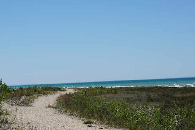
Waugosance Point sandy beach, with reef lighthouse on horizon.
Emmet County is a county located in the U.S. state of Michigan. It is the northernmost county in the Lower Peninsula. As of the 2020 census, the population was 34,112, making it the second-most populous county in Northern Michigan. The county seat is Petoskey, which is also the county's largest city.
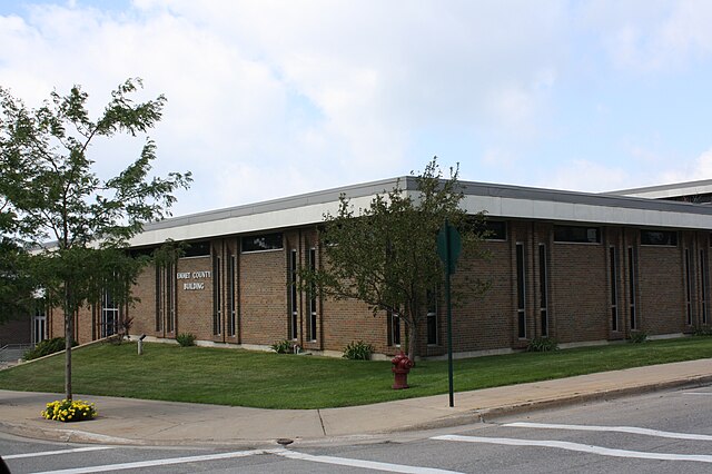
Emmet County Building
Most of present day Charlevoix County was originally part of Emmet County.
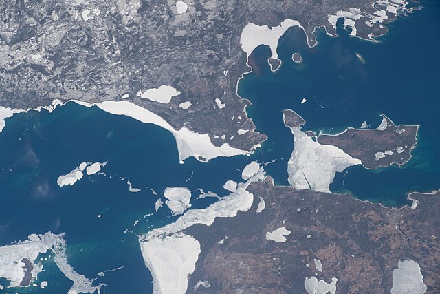
Emmet County is at the lower center-left, Cheboygan County is at the lower right, and Mackinac County is above both of them; taken April 10, 2022, from the International Space Station.
The Tunnel of Trees, along M-119 north of Harbor Springs.