The Weald is an area of South East England between the parallel chalk escarpments of the North and the South Downs. It crosses the counties of Hampshire, Surrey, West Sussex, East Sussex, and Kent. It has three parts, the sandstone "High Weald" in the centre, the clay "Low Weald" periphery and the Greensand Ridge, which stretches around the north and west of the Weald and includes its highest points. The Weald once was covered with forest and its name, Old English in origin, signifies "woodland". The term is still used, as scattered farms and villages sometimes refer to the Weald in their names.
View south across the Weald of Kent as seen from the North Downs Way near Detling
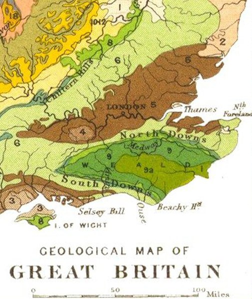
Geology of south-eastern England showing the High Weald in yellow-green (9a) and the Low Weald in darker green (9); chalk downland is in pale green (6)
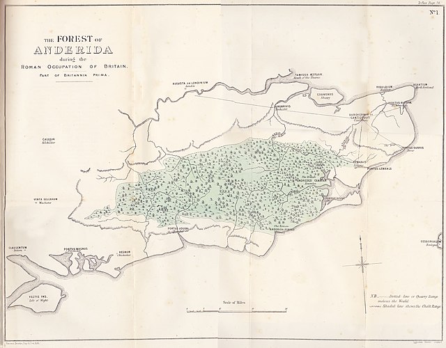
The Forest of Anderida during the Roman occupation of Britain
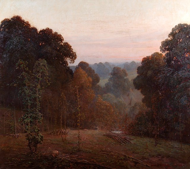
Autumn, Weald of Kent (1904), by Benjamin Haughton
The North Downs are a ridge of chalk hills in south east England that stretch from Farnham in Surrey to the White Cliffs of Dover in Kent. Much of the North Downs comprises two Areas of Outstanding Natural Beauty (AONBs): the Surrey Hills and the Kent Downs. The North Downs Way National Trail runs along the North Downs from Farnham to Dover.
The North Downs near the entrance to the Channel Tunnel in Folkestone
Geology of the South East, chalk is light green (6)
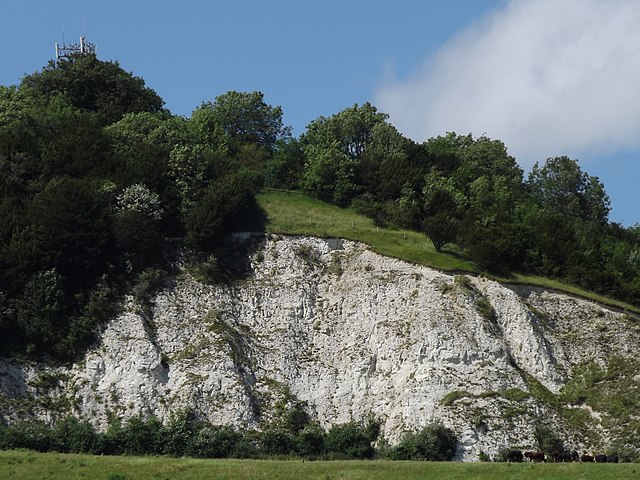
The exposed chalk workings of the former Betchworth Quarry on the south-facing scarp slope of Box Hill.
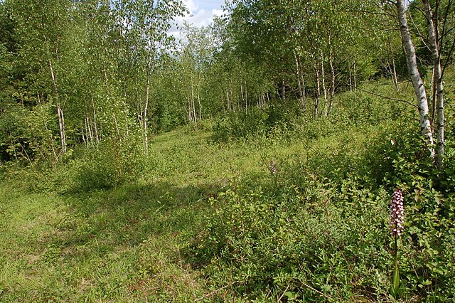
Lady orchids growing in calcareous woodland and scrub, Denge Wood.


