West Nipissing is a municipality in Northeastern Ontario, Canada, on Lake Nipissing in the Nipissing District. It was formed on January 1, 1999, with the amalgamation of seventeen and a half former towns, villages, townships and unorganized communities.
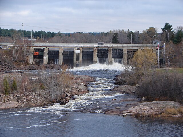
Power dam on the Sturgeon River in Sturgeon Falls.
Field
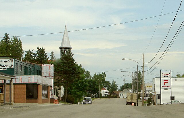
Verner
River Valley
Lake Nipissing is a lake in the Canadian province of Ontario. It has a surface area of 873.3 km2 (337.2 sq mi), a mean elevation of 196 m (643 ft) above sea level, and is located between the Ottawa River and Georgian Bay. Lake Nipissing is the third-largest lake entirely in Ontario. It is relatively shallow for a large lake, with an average depth of only 4.5 m (15 ft). The shallowness of the lake makes for many sandbars along the lake's irregular shoreline. The lake reaches a maximum depth of 64 m (210 ft) near the mouth of the French River, off the shore of Blueberry Island. The lake has many islands most of which are protected under the Protection of Significant Wetlands scheme, controlled by the Ministry of Natural Resources and Forestry.
Satellite view of Lake Nipissing
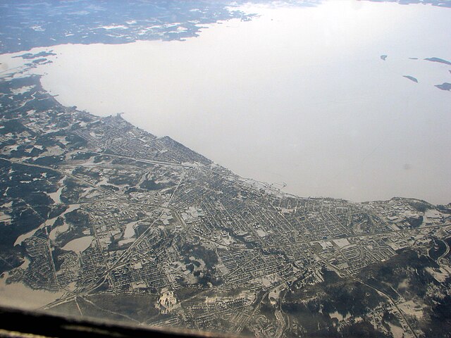
Aerial view of Lake Nipissing and North Bay
A beach along Lake Nipissing
Sunset at Lake Nipissing