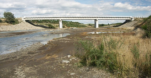
The Whangaehu River is a large river in central North Island of New Zealand. Its headwaters are the crater lake of Mount Ruapehu on the central plateau, and it flows into the Tasman Sea eight kilometres southeast of Whanganui. Due to the high acidity of the water coming from the crater lake, water is not diverted from the headwaters for the Tongariro Power Scheme. Instead, it bypasses the Waihianoa Aqueduct via a ford.
The State Highway 49 bridge at Tangiwai
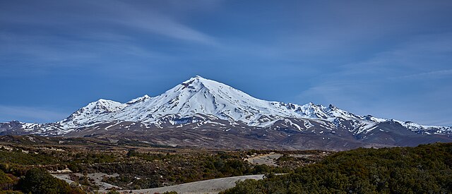
Mount Ruapehu is an active stratovolcano at the southern end of the Taupō Volcanic Zone and North Island volcanic plateau in New Zealand. It is 23 km (14 mi) northeast of Ohakune and 23 km (14 mi) southwest of the southern shore of Lake Taupō, within the Tongariro National Park. The North Island's major ski resorts and only glaciers are on its slopes.
Mt Ruapehu from Tongariro Northern Circuit, 2023
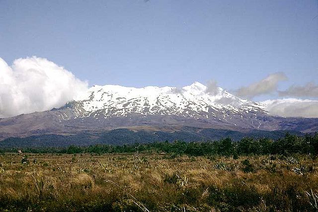
Mount Ruapehu, January 2002.
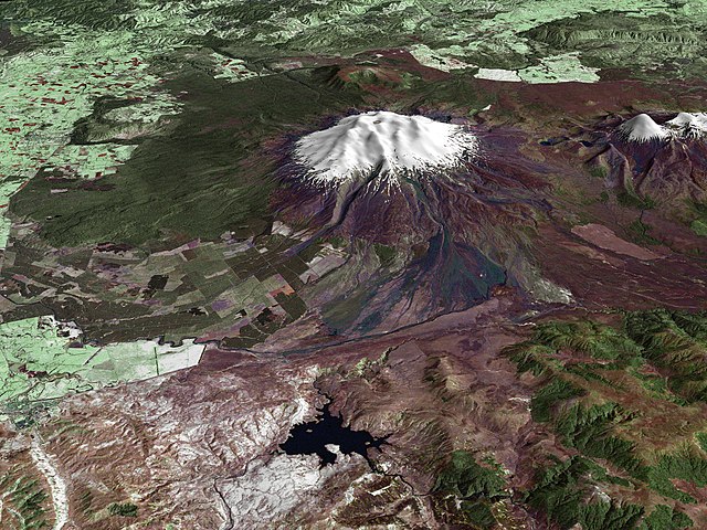
A composite satellite image looking west across Ruapehu, with the older eroded volcano Hauhungatahi visible behind it, and the cone of Ngauruhoe visible to the right.
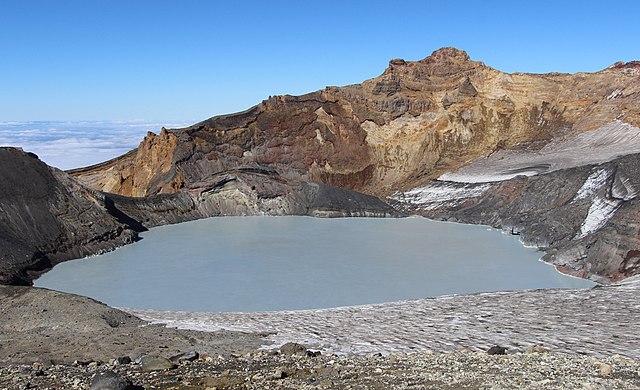
Crater Lake and Tahurangi, the highest peak (top right) in 2016. The 1996 tephra dam is the bluish dark area at lake edge directly below Tahurangi.