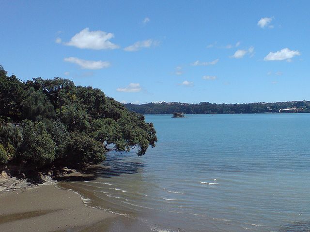
The Whau River is an estuarial arm of the southwestern Waitemata Harbour within the Auckland metropolitan area in New Zealand. It flows north for 5.7 kilometres (3.5 mi) from its origin at the confluence of the Avondale Stream and Whau Stream to its mouth between the Te Atatū Peninsula and the long, thin Rosebank Peninsula in Avondale. It is 800 metres (2,600 ft) at its widest and 400 metres (1,300 ft) wide at its mouth.
The Whau River and Rata Street Bridge
Waitematā Harbour is the main access by sea to Auckland, New Zealand. For this reason it is often referred to as Auckland Harbour, despite the fact that it is one of two harbours adjoining the city. The harbour forms the northern and eastern coasts of the Auckland isthmus and is crossed by the Auckland Harbour Bridge. It is matched on the southern side of the city by the shallower waters of the Manukau Harbour.
A view of the Waitematā Harbour looking north-west towards the Auckland Harbour Bridge
The eastern edge of Herne Bay, one of the wooded beach reserves typical of the harbour.
A container ship sailing out of the harbour
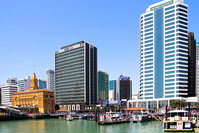
The Auckland waterfront, one of the most popular areas of Waitematā Harbour