Whitewood is a town in the Canadian province of Saskatchewan. It is located approximately 175 kilometres (109 mi) east of Regina on the Trans-Canada Highway Sk Hwy 1. It is situated at the crossroads of two major highways systems – the Trans-Canada, which runs east and west, and Sk Hwy 9, which runs north and south from the US border to Hudson Bay, Saskatchewan. It is located midway between Brandon, Manitoba and Regina.
Main Street, Whitewood, 1913
Cattle, horses, and sheep were all rounded up for market day in Whitewood, 1901
Whitewood residential street in the 1910s
The Whitewood band, including some of the French aristocrats from St. Hubert, previously La Rolanderie, 1904
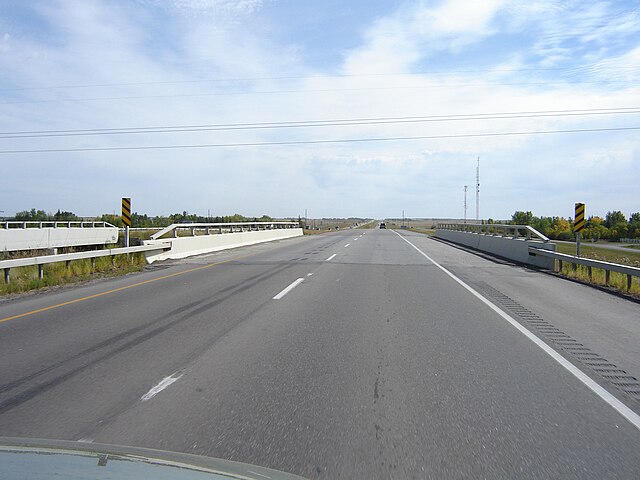
Highway 1 is the Saskatchewan section of the Trans-Canada Highway mainland route. The total distance of the Trans-Canada Highway in Saskatchewan is 654 kilometres (406 mi). The highway traverses Saskatchewan from the western border with Alberta, from Highway 1, to the Manitoba border where it continues as PTH 1. The Trans-Canada Highway Act was passed on December 10, 1949. The Saskatchewan segment was completed August 21, 1957, and completely twinned on November 6, 2008. The speed limit along the majority of the route is 110 kilometres per hour (70 mph) with urban area thoroughfares slowing to a speed of 80–100 kilometres per hour (50–62 mph). Portions of the highway—the section through Swift Current, an 8-kilometre (5 mi) section east of Moose Jaw, and a 44-kilometre (27 mi) section between the West Regina Bypass and Balgonie—are controlled-access. Highway 1 serves as a major east–west transport route for commercial traffic. It is the main link between southern Saskatchewan's largest cities, and also serves as the province's main link to the neighbouring provinces of Alberta and Manitoba.

Divided highway (twinned) Hwy 1 Regina – Pilot Butte
Sk Hwy 1 near Indian Head/Fort Qu'Appelle at Sk Hwy 56
White City At Sk Hwy 48
Divided highway (twinned) section Sk Hwy 1 leaving Regina (eastward)