The Willamette Valley is a 150-mile (240 km) long valley in Oregon, in the Pacific Northwest region of the United States. The Willamette River flows the entire length of the valley and is surrounded by mountains on three sides: the Cascade Range to the east, the Oregon Coast Range to the west, and the Calapooya Mountains to the south.
Farmscape in northern Polk County
Willamette Valley basin
Light fog in the southern valley
A field of Dahlias near Canby
The Willamette River is a major tributary of the Columbia River, accounting for 12 to 15 percent of the Columbia's flow. The Willamette's main stem is 187 miles (301 km) long, lying entirely in northwestern Oregon in the United States. Flowing northward between the Oregon Coast Range and the Cascade Range, the river and its tributaries form the Willamette Valley, a basin that contains two-thirds of Oregon's population, including the state capital, Salem, and the state's largest city, Portland, which surrounds the Willamette's mouth at the Columbia.
The Willamette passing through Downtown Portland in the 1980s
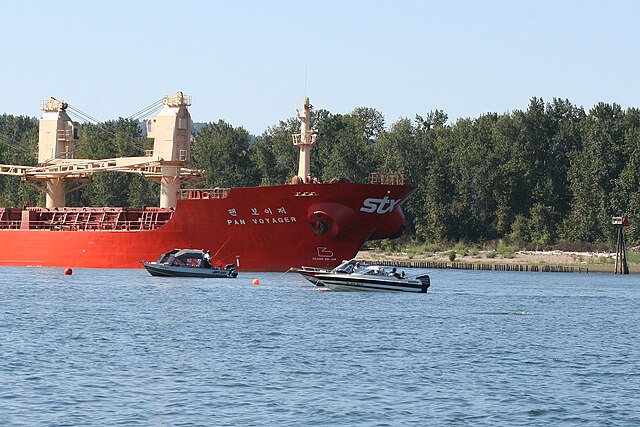
Ocean-going cargo ship anchored at the mouth of the Willamette
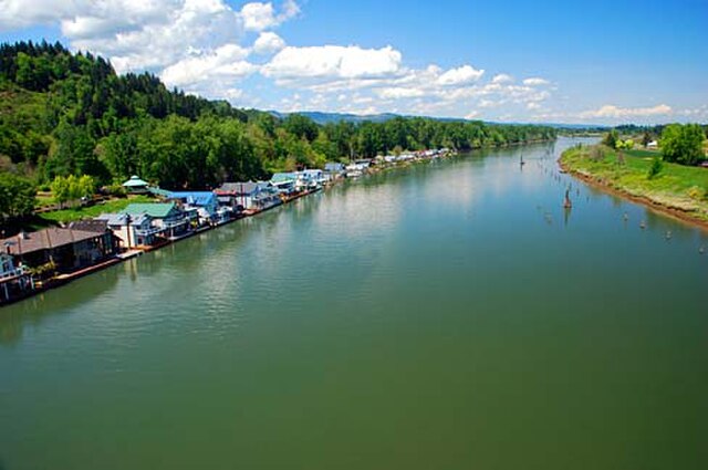
The Multnomah Channel from the Sauvie Island Bridge
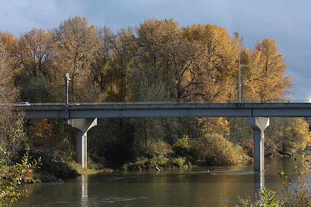
The Oregon Route 34 bridge across the Willamette River at Corvallis is a mid-valley highway crossing.


