Winter flooding of 2013–14 on the Somerset Levels
From December 2013 onwards the Somerset Levels suffered severe flooding as part of the wider 2013–2014 Atlantic winter storms in Europe and subsequent 2013–2014 United Kingdom winter floods. The Somerset Levels, or the Somerset Levels and Moors as they are less commonly but more correctly known, is a coastal plain and wetland area of central Somerset, in South West England, running south from the Mendip Hills to the Blackdown Hills.
NASA Satellite image of flooding on the Somerset Levels
Confluence of the Rivers Parrett and Tone at Burrowbridge during flooding in February 2014
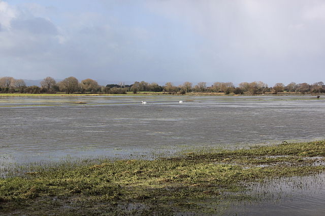
Greylake next to King's Sedgemoor Drain showing extensive flooding on 26 February 2014
Curry Moor pumping station
The Somerset Levels are a coastal plain and wetland area of Somerset, England, running south from the Mendips to the Blackdown Hills.
The Somerset Levels, seen from Glastonbury Tor
Glastonbury Tor
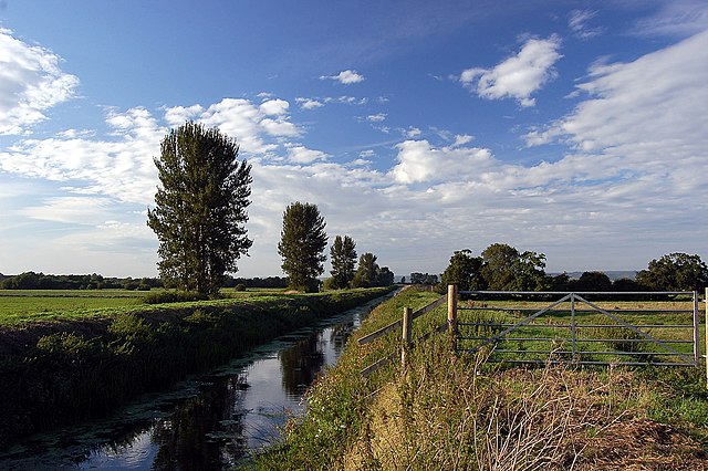
The River Brue in an artificial channel draining farmland near Glastonbury
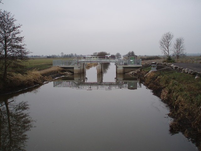
Greylake sluice on King's Sedgemoor Drain