Wivenhoe Dam
Videos
Page
The Wivenhoe Dam is a rock and earth-fill embankment dam with a concrete spillway across the Brisbane River in South East Queensland, Australia. The dam takes it names from the local Wivenhoe Pocket rural community. The dam wall is located about 80 kilometres (50 mi) by road from the centre of Brisbane. The primary purpose of the dam is the supply of potable water for the Brisbane and Ipswich regions. The dam also provides for flood mitigation control, hydroelectricity, and recreation. The impounded reservoir is called Lake Wivenhoe and the dam, the lake and a narrow strip of surrounding land forms a locality also called Lake Wivenhoe.

The Wivenhoe Dam wall and spillway
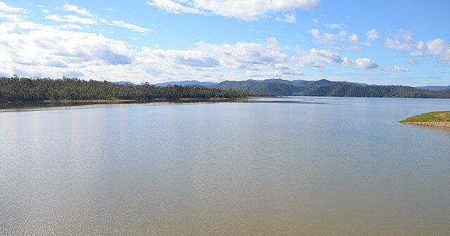
A view of Lake Wivenhoe

The dam is used to mitigate floods and provide drinking water
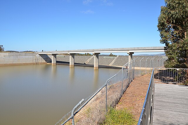
Auxiliary spillway, upstream side
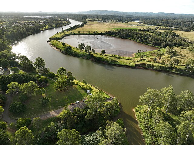
Brisbane River
Videos
Page
The Brisbane River is the longest river in South East Queensland, Australia, and flows through the city of Brisbane, before emptying into Moreton Bay on the Coral Sea. John Oxley, the first European to explore the river, named it after the Governor of New South Wales, Sir Thomas Brisbane in 1823. The penal colony of Moreton Bay later adopted the same name, eventually becoming the present city of Brisbane. The river is a tidal estuary and the water is brackish from its mouth through the majority of the Brisbane metropolitan area westward to the Mount Crosby Weir. The river is wide and navigable throughout the Brisbane metropolitan area.

Brisbane River from Kangaroo Point
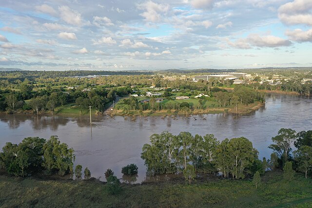
Moggill Ferry Reserve was completely under water after the 2022 Flood
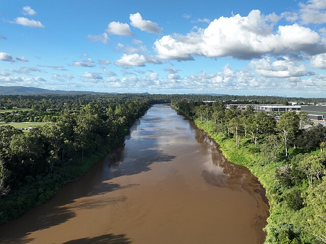
Muddy Brisbane river covered with debris after days of raining
Goodna Boat Ramp in May 2023