The World Geodetic System (WGS) is a standard used in cartography, geodesy, and satellite navigation including GPS. The current version, WGS 84, defines an Earth-centered, Earth-fixed coordinate system and a geodetic datum, and also describes the associated Earth Gravitational Model (EGM) and World Magnetic Model (WMM). The standard is published and maintained by the United States National Geospatial-Intelligence Agency.
Handheld GPS receiver at the Royal Observatory, Greenwich, indicating that the Greenwich meridian is 0.089 arcminutes (or 5.34 arcseconds) west of the WGS 84 datum (the IERS Reference Meridian)
Geodesy is the science of measuring and representing the geometry, gravity, and spatial orientation of the Earth in temporally varying 3D. It is called planetary geodesy when studying other astronomical bodies, such as planets or circumplanetary systems.
A modern instrument for geodetic measurements using satellites
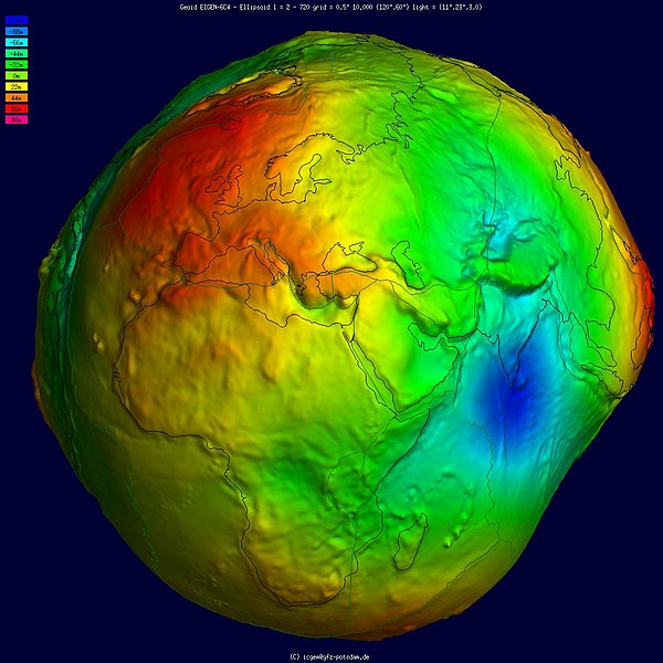
Geoid, an approximation for the shape of the Earth; shown here with vertical exaggeration (10000 vertical scaling factor).
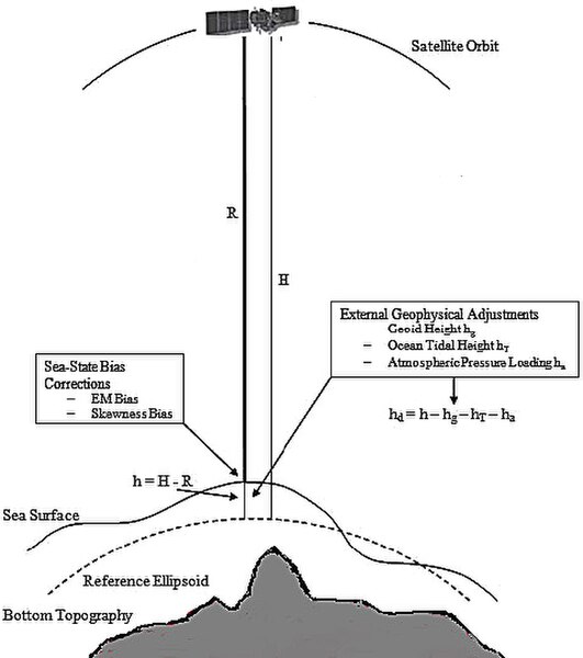
Height measurement using satellite altimetry
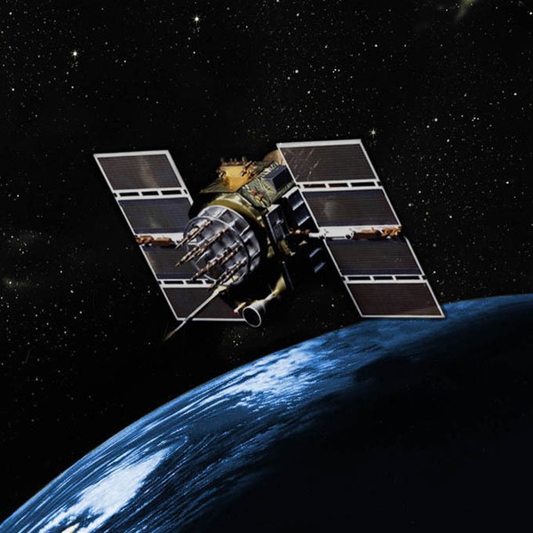
GPS Block IIA satellite orbits over the Earth.