The Wouri is a river in Cameroon. Cameroon has many water bodies and amongst these are two major rivers, the Sanaga, the longest at about 525 km long and the Wouri, the largest. The Wouri forms at the confluence of the rivers Nkam and Makombé, 32 km (20 mi) northeast of the city of Yabassi. It then flows about 160 km (99 mi) southeast to the Wouri estuary at Douala, the chief port and industrial city in the southwestern part of Cameroon on the Gulf of Guinea. The river is navigable about 64 km (40 mi) upriver from Douala.
The estuary of the Wouri River
Nkam River
Seme beach limbe Cameroon
Wouri bridge
Cameroon, officially the Republic of Cameroon, is a country in Central Africa. It shares boundaries with Nigeria to the west and north, Chad to the northeast, the Central African Republic to the east, and Equatorial Guinea, Gabon and the Republic of the Congo to the south. Its coastline lies on the Bight of Biafra, part of the Gulf of Guinea and the Atlantic Ocean. Due to its strategic position at the crossroads between West Africa and Central Africa, it has been categorized as being in both camps. Its nearly 27 million people speak 250 native languages, in addition to the national tongues of English and French, or both.
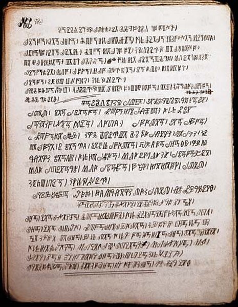
Bamum script is a writing system developed by King Njoya in the late 19th century.
Leaders of the pro-independence UPC
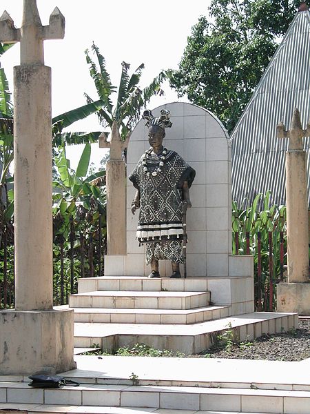
A statue of a chief in Bana, West Region
President Paul Biya with U.S. President Barack Obama in 2014


