Yamagata Prefecture
Videos
Yamagata Prefecture is a prefecture of Japan located in the Tōhoku region of Honshu. Yamagata Prefecture has a population of 1,028,055 and has a geographic area of 9,325 km2. Yamagata Prefecture borders Akita Prefecture to the north, Miyagi Prefecture to the east, Fukushima Prefecture to the south, and Niigata Prefecture to the southwest.

Image: Evening twilight in Ginzan Onsen town January 2022 A

Image: 蔵王の樹氷 (Snow Monsters (Soft rime) at Zao) 08 Feb, 2011 panoramio

Image: Risshaku ji Kaisan do 201706b
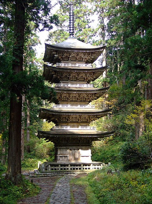
Image: Five tier pagoda at Mt. Haguro 2006 10 29
Fukushima Prefecture
Videos
Fukushima Prefecture is a prefecture of Japan located in the Tōhoku region of Honshu. Fukushima Prefecture has a population of 1,771,100 and has a geographic area of 13,783.90 square kilometres (5,321.99 sq mi). Fukushima Prefecture borders Miyagi Prefecture and Yamagata Prefecture to the north, Niigata Prefecture to the west, Gunma Prefecture to the southwest, and Tochigi Prefecture and Ibaraki Prefecture to the south.

The Ōyasuba Kofun in the Tohoku region

Buddhist chapel Shiramizu Amidadō

Three of the reactors at Fukushima Daiichi overheated, causing meltdowns that led to explosions, which released large amounts of radioactive material into the air.

View of Fukushima Basin from Hanamiyama Park