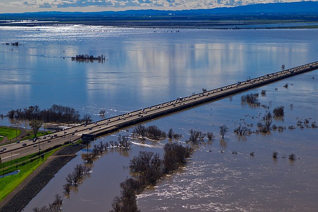
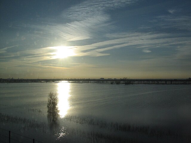
The Yolo Bypass is one of the two flood bypasses in California's Sacramento Valley located in Yolo and Solano Counties. Through a system of weirs, the bypass diverts floodwaters from the Sacramento River away from the state's capital city of Sacramento and other nearby riverside communities.
View of the flooded Yolo Bypass, looking southwest from West Sacramento (2017)
Fremont Weir (2010)
Flooded Yolo Bypass, February 2006. Interstate 80 runs along the causeway in the distance.
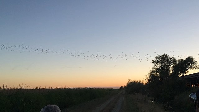
Approximately 250,000 Mexican free-tailed bats migrate to and nest under the Yolo Causeway during the summer (2018)
The Sacramento River is the principal river of Northern California in the United States and is the largest river in California. Rising in the Klamath Mountains, the river flows south for 400 miles (640 km) before reaching the Sacramento–San Joaquin River Delta and San Francisco Bay. The river drains about 26,500 square miles (69,000 km2) in 19 California counties, mostly within the fertile agricultural region bounded by the Coast Ranges and Sierra Nevada known as the Sacramento Valley, but also extending as far as the volcanic plateaus of Northeastern California. Historically, its watershed has reached as far north as south-central Oregon where the now, primarily, endorheic (closed) Goose Lake rarely experiences southerly outflow into the Pit River, the most northerly tributary of the Sacramento.
Sacramento River from the old pumping station in Sacramento, California
Upper Sacramento River at Castle Crags State Park
The Sacramento River running through Red Bluff, California
Sacramento River in Bend, California


