The Yorkshire Dales are a series of valleys, or dales, in the Pennines, an upland range in England. They are mostly located in the ceremonial county of North Yorkshire, but extend into Cumbria and Lancashire; they were historically entirely within Yorkshire. The majority of the dales are within the Yorkshire Dales National Park, created in 1954. The exception is the area around Nidderdale, which forms the separate Nidderdale Area of Outstanding Natural Beauty.
Swaledale
A view near Malham, on the Pennine Bridleway
A typical village (Gunnerside) in the Swaledale agricultural area of the Yorkshire Dales
Tourists approaching a field barn in Muker
The Pennines, also known as the Pennine Chain or Pennine Hills, are a range of uplands mainly located in Northern England. Commonly described as the "backbone of England" because of its length and position, the range runs from Derbyshire and Staffordshire in the North Midlands to Northumberland in North East England, near the Anglo-Scottish border. The range starts near the valley of the River Trent to the south and extends northwards across the Peak District, South Pennines, Yorkshire Dales, and North Pennines, ending at the Tyne Gap. Beyond the gap are the Border Moors and Cheviot Hills, which are included in some definitions of the range.
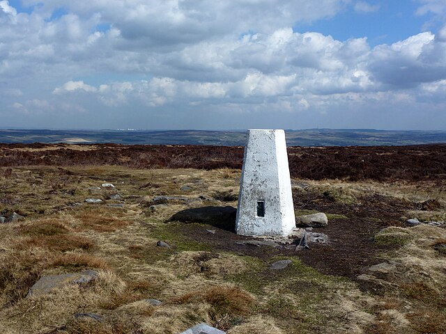
Rombalds Moor, South Pennines
Scenery in the Forest of Bowland
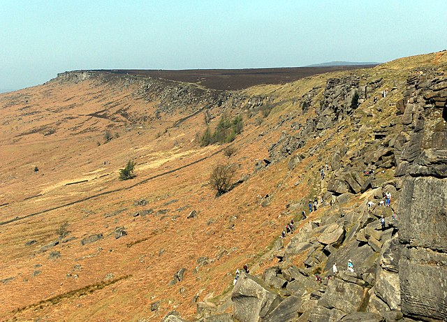
Stanage Edge in the Peak District
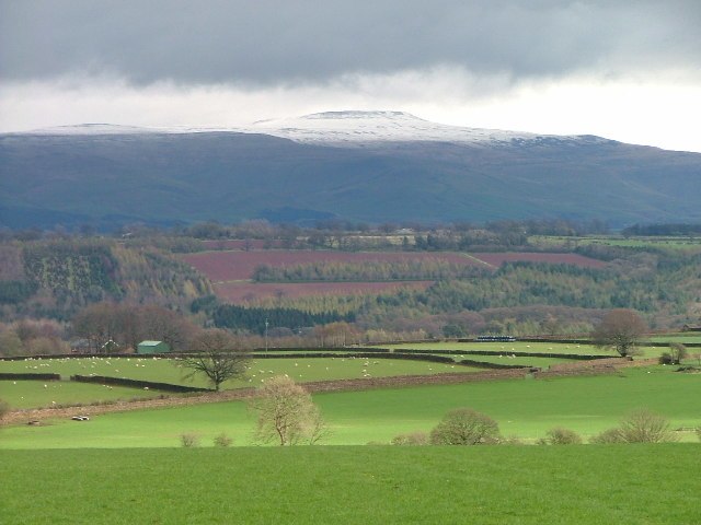
Cross Fell, the highest point of the Pennines


